New Garden Township
Historical Resource #68
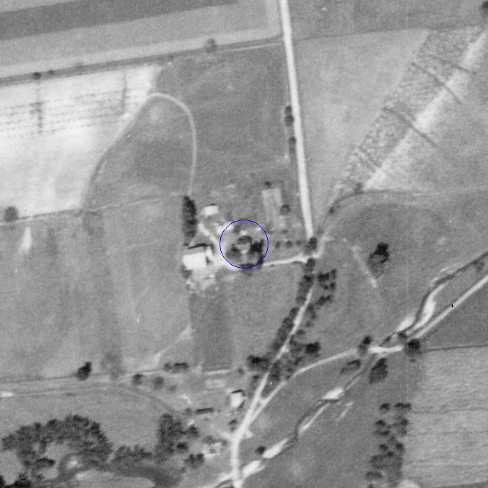
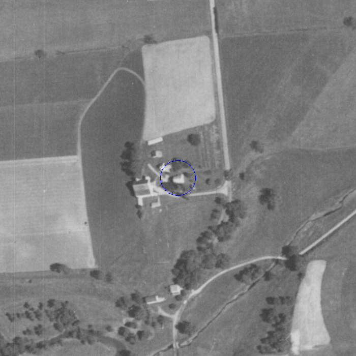
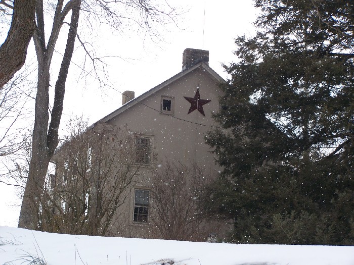
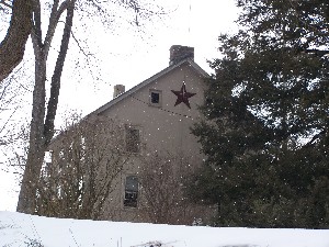
Samuel Miller House
500 Penn Green Rd
Landenberg, PA
|
|
New Garden Township
|
|
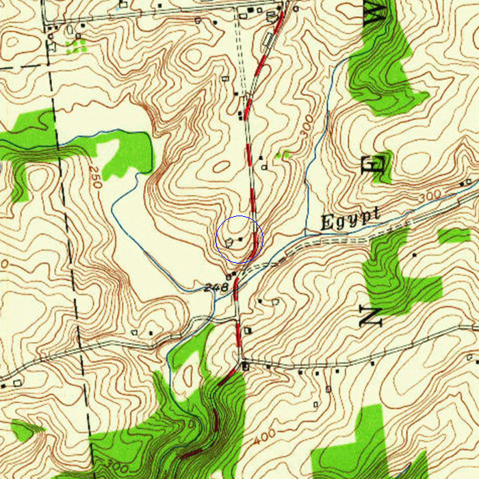
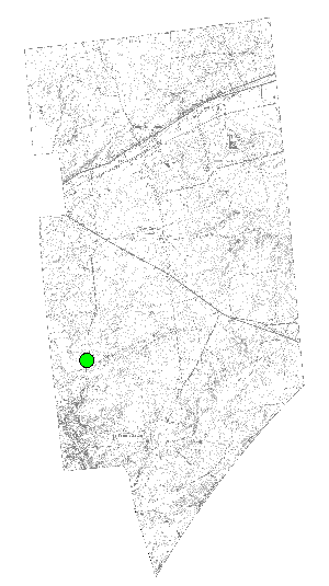
GPS: 39.79400° N, 75.77011° W
GIS: 2524822, 174050 State Plane Zone 3702; North American Datum 1983; Units: Feet
| HR #68 is recognized under the New Garden Township Historical Ordinance (adopted 8-10-2009) as meeting the following criteria: | |
| [X] | (a) shall have been constructed, or had any portion thereof constructed, prior to January 1, 1940; and |
| [X] | (b) shall have significant character, interest or value as an example of development, heritage or character of New Garden Township, or |
| [X] | (c) shall reflect the environment in an era of history characterized by a distinctive architectural style, or |
| [ ] | (d) shall embody distinguishing characteristics of an architectural style or engineering specimen. |
Tax Parcel ID: 60-5-11
Description: OLD STYLE
Year Built: 1900
Caution: This county data may not be properly matched to HR #68 and dates before 1920 are especially unreliable.
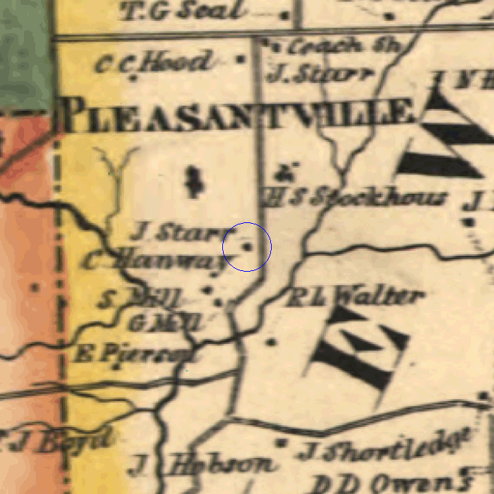
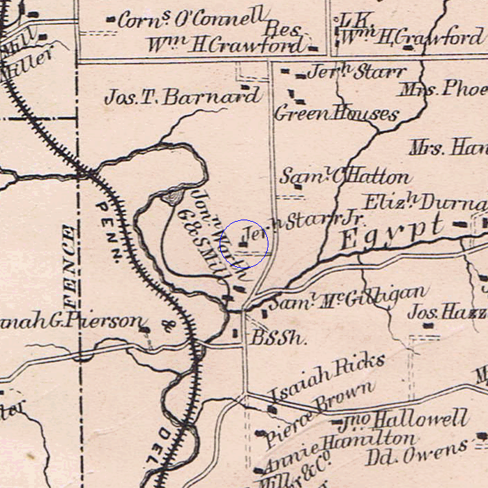
Notation: J. Starr
Notation: Jeremiah Starr Jr.
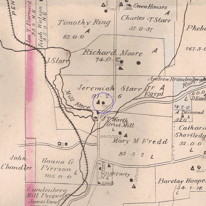
Notation: Jeremiah Starr Jr, Stone House, 91 acres
|
The Historical Commission is always looking for additional information about this resource. |