New Garden Township
Historical Resource #45
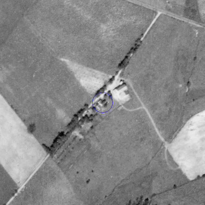
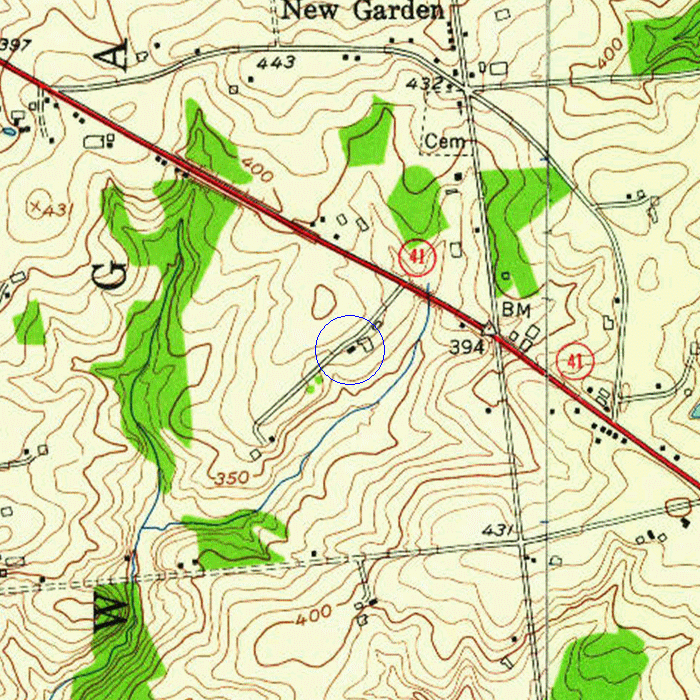
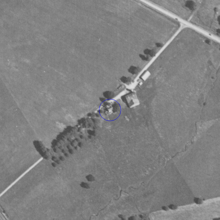
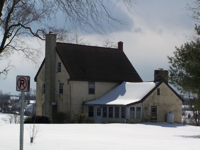
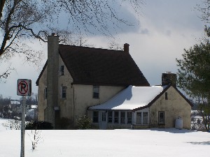
Thomas Lamborn House
8934 Gap Newport Pike
Landenberg, PA
|
|
New Garden Township
|
|
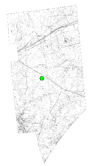
GPS: 39.80883° N, 75.75608° W
GIS: 2528641, 179540 State Plane Zone 3702; North American Datum 1983; Units: Feet
| HR #45 is recognized under the New Garden Township Historical Ordinance (adopted 8-10-2009) as meeting the following criteria: | |
| [X] | (a) shall have been constructed, or had any portion thereof constructed, prior to January 1, 1940; and |
| [X] | (b) shall have significant character, interest or value as an example of development, heritage or character of New Garden Township, or |
| [X] | (c) shall reflect the environment in an era of history characterized by a distinctive architectural style, or |
| [X] | (d) shall embody distinguishing characteristics of an architectural style or engineering specimen. |
Tax Parcel ID: 60-3-243.6
Description: RESIDENTIAL 1 FAMILY
Year Built: 1790
Caution: This county data may not be properly matched to HR #45 and dates before 1920 are especially unreliable.
???
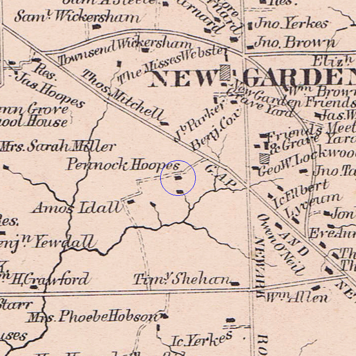
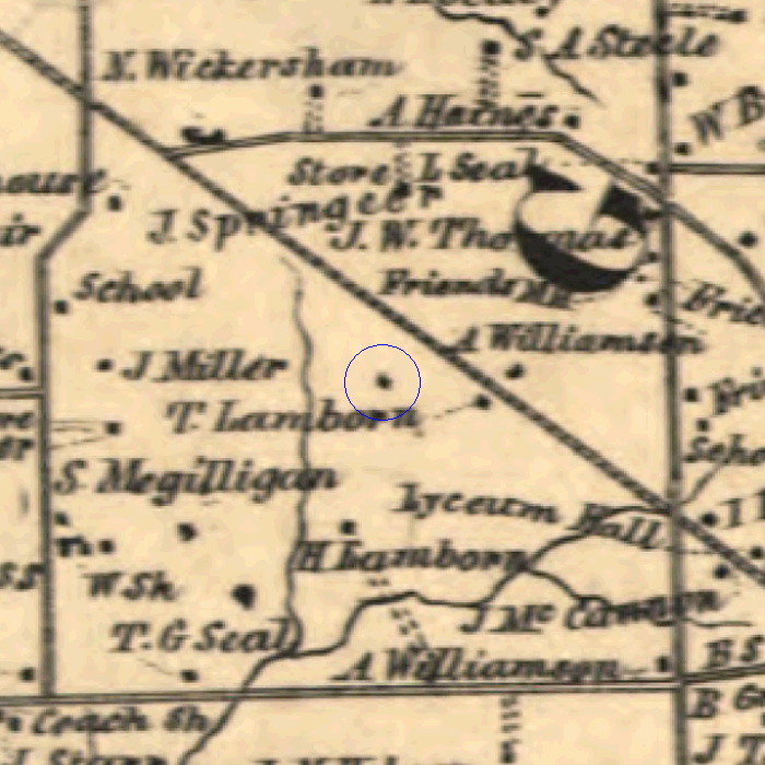
Notation: Pennock Hoopes
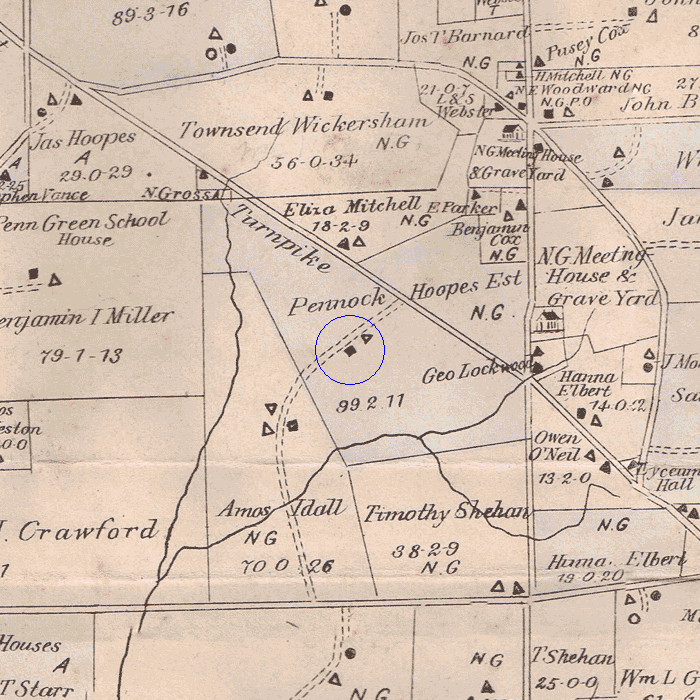
Notation: Pennock Hoopes Est., brick house, 99 acres
|
The Historical Commission is always looking for additional information about this resource. |